The IEEE GRSS Lahore Chapter, in collaboration with the Remote Sensing & Spatial Analytics Lab at Information Technology University (ITU) and Deepembedded Lab, Department of Electronics Engineering, The Islamia University of Bahawalpur (IUB), successfully conducted a two-day hands-on workshop on the use of Python for remote sensing data analysis in disaster management applications.
On the second day, Dr. Muhammad Adnan Siddique presented his research on oil spill detection using deep learning and SAR imagery, while Ehtasham Naseer delivered an insightful session on Synthetic Aperture Radar (SAR) imaging, data interpretation, and feature understanding. He also shared his work on air pollution monitoring using remote sensing and machine learning.
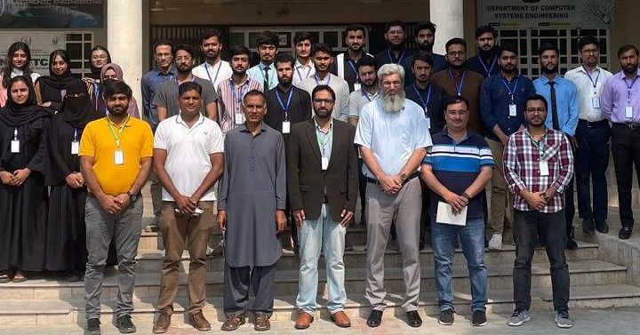
The workshop concluded with a certificate and souvenir distribution ceremony, where Prof. Dr. Muhammad Amjad (Dean, Faculty of Engineering) and Dr. Shahab Niazi (Chair, Department of Electronics Engineering) shared their valuable remarks and acknowledged the efforts of presenters and organizers. Dr. Muhammad Adnan Siddique, Chair IEEE GRSS Lahore Chapter, also presented chapter goodies as a token of appreciation.
Heartfelt thanks to the organizing team — Dr. Muhammad Abbas Abbasi, Bilal Shahid, and the dedicated student volunteers — for their tireless efforts. Special gratitude to Prof. Dr. Muhammad Amjad and Dr. Shahab Niazi for their continued support of IEEE Geoscience and Remote Sensing Society activities, and to Dr. Muhammad Adnan Siddique, Ehtasham Naseer, and Amir Hameed for sharing their valuable expertise with participants.
